The Theodosian Walls of Constantinople
The great triple walls of the Byzantine capital that protected the city for over a thousand years.
The Navigators Blog is about navigating between places of historical interest, with an emphasis on maps, forts, ships, navigation and artillery. I am especially fascinated by the Age of Discovery and the navigators of old making new tracks across the globe.
I also enjoy the challenge of navigating by landmarks along a coastline in daylight and watching star constellations orbit above while sailing offshore at night. And I like navigating around the world on travels to new and off-track destinations that have amazing landscapes, and an intriguing story. And I prefer to avoid crowds.
Some of my favourite journeys have been to remote places with few people around: the tip of Cape York as the thunderheads build just before the wet arrives; sailing a tall ship over the ghosts of Jutland; Tashkurgan – Ptolemy’s ‘stone tower’–and Kashgar on the Silk Road; the Heads of the Gods atop Nemrut Dagi; or forgotten hiking trails in the Allgau Alps.
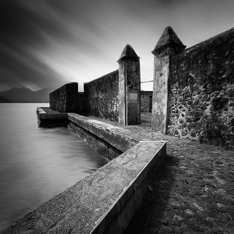
But some of my fondest memories are touring around the crumbling ruins of the old bastions of the Spice Islands; taking in the stunning volcanic landscapes, and reflecting on the impact these forts had on the Age of Discovery and the history of our world.
I hope you enjoy navigating with me…
Simon Pratt


The great triple walls of the Byzantine capital that protected the city for over a thousand years.

An Arab ship carrying a load of Chinese porcelain that went down in Indonesia a thousand years ago…

Lost among the Sydney Region’s sprawling suburbs and farms lie more than two dozen old military airfields. Most of these